Mountain maps
On the mountain map, you can find overnight cabins, rest shelters/rest cabins, wind shelters, etc.
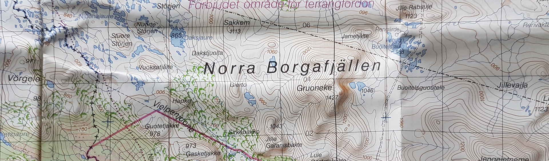
Mountain maps are supplied by several suppliers, but the common factor for the products is that the basic data is provided by the Swedish Mapping, Cadastral and Land Registration Authority (Lantmäteriet). If possible, use a map printed on moisture resistant paper together with a compass that is never dependent on power or mobile coverage to work. Be sure to learn how to read the map and use it together with a compass before you begin your outing.
What information does the map contain?
Trails, overnight cabins, rest shelters/rest cabins, wind shelters, etc. are shown extra carefully and are printed on the map in a special colour. Place names are shown in Sami within the respective Sami language area.
Plan the outing on the map
Carefully study the map in advance if you are to make a longer trip. Mark the route you intend to take. Look at the elevation curves to get an idea of how steep the terrain is. Identify wind shelters, rest cabins or other places that seem suitable to rest at. Identify retreat routes you can use to reach protection in the event of bad weather. Estimate distances in stages and to various destinations. It is easy to mistake the distances. In reality, it goes up and down and often more slowly than imagined.
Mountain maps are fresh goods
Trails change placement or are removed or other mountain information changes somewhat often.
The revision of the basis for the maps is currently planned with around four-year intervals. Upon revision, information is gathered from authorities and organisations (centrally, regionally and local) that have knowledge of or conduct activities in the mountain region. Information is also gathered from other maps, aerial photographs and with the help of field work. Lantmäteriet is represented in the Mountain Safety Council – an expression for a well-developed map documentation being a part of the mountain safety work.